GIS (Geographic information systems) Data Collection & Management
Invasive Species Grid mapping & Management at Murphy Canyon Vernal Pool Preserve (MCVPP)
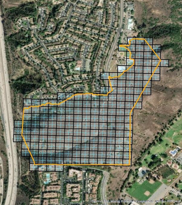
The Murphy Canyon Vernal Pool Preserve contains over 100 vernal pools, some of which support the San Diego fairy shrimp (Branchinecta sandiegonensis), the western spadefoot toad (Spea hammondii), and San Diego mesa mint (Pogogyne abramsii). Additionally, California gnatcatcher (Polioptila californica) has been observed within the MCVPP in areas with viable coastal sage scrub (CSS) habitat. ACS performed invasive species surveying throughout the Project area, using a GIS grid system that allowed for the recording of invasive species, rare plants, and other notable features. This GIS geodatabase data served as the foundation for a subsequent Invasive Species Managment Plan for the installation.
Project Details
CLIENT
NAVFAC SW (Naval Facilities Engineering Systems Command Southwest)- Naval Base San Diego
PROJECT TYPE
GIS Data Collection & Management
Project Details
CLIENT
NAVFAC SW (Naval Facilities Engineering Systems Command Southwest)- Marine Corps Base Camp Pendleton
PROJECT TYPE
GIS Data Collection & Management
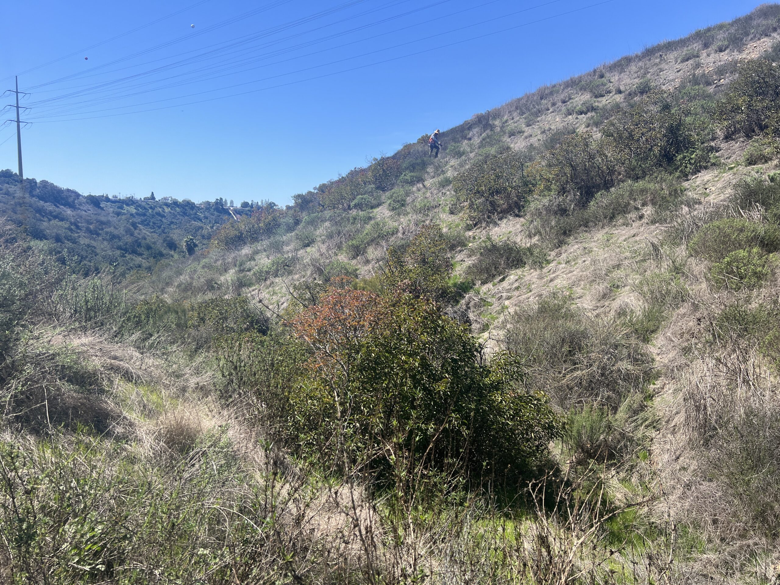
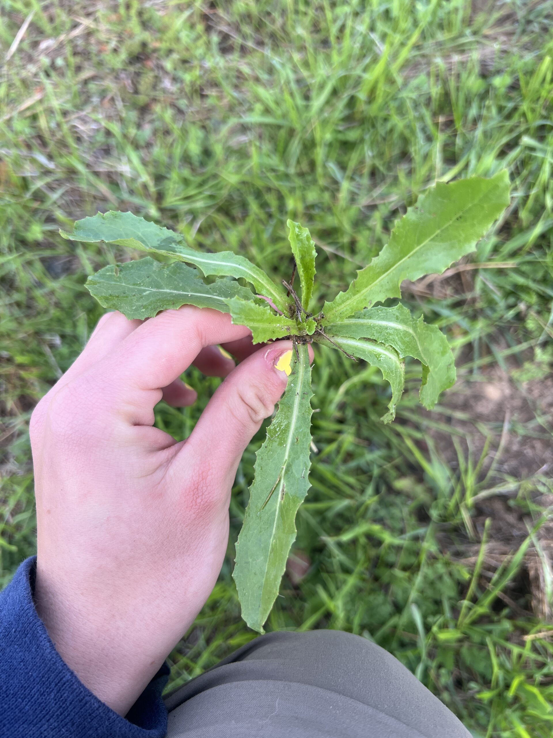
Early Detection and Rapid Response (EDRR) Mapping Protocol Development
ACS was tasked by the Navy to develop a standardized mapping methodology for surveying and identifying incipient non-native, invasive plant species populations so that management actions could be taken before the species became established on MCBCP.